
01
Glacier country, sacred Gangotri and the dramatic face of Shivling
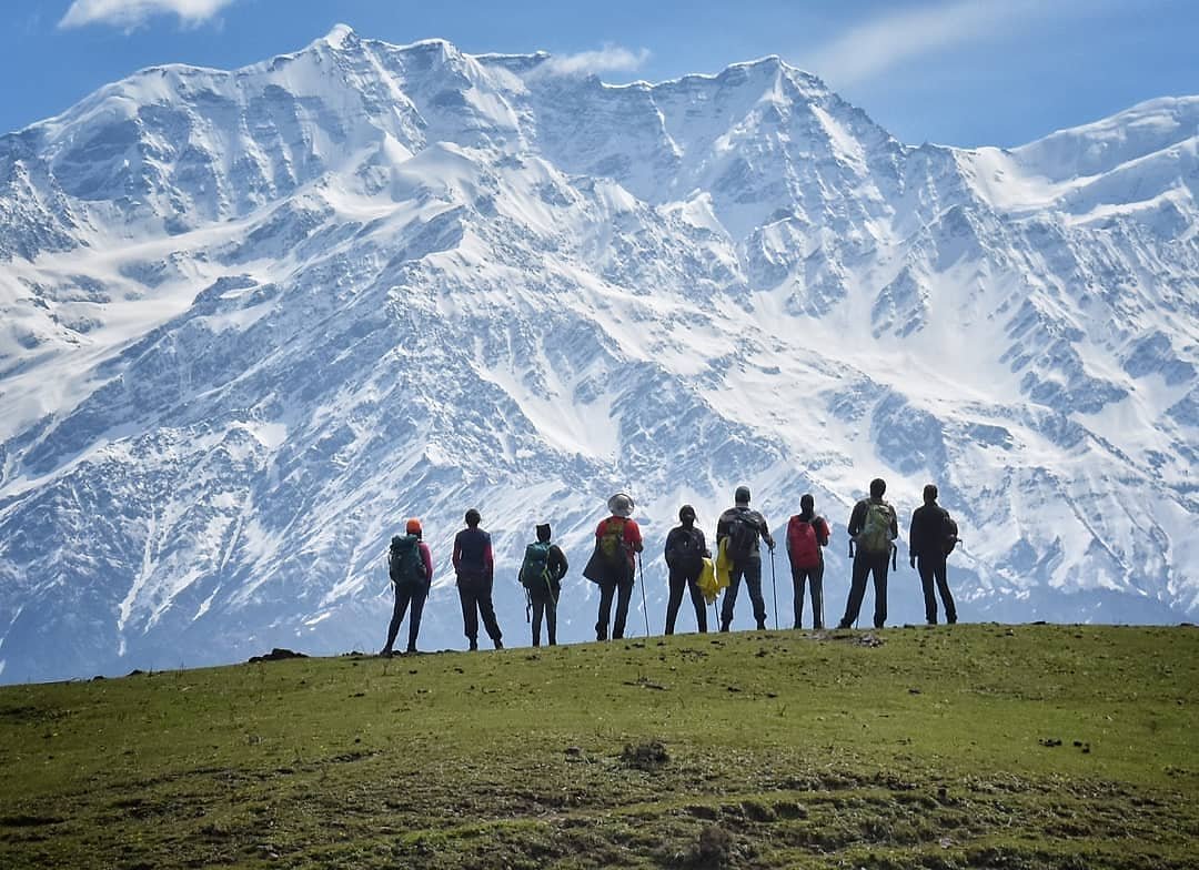
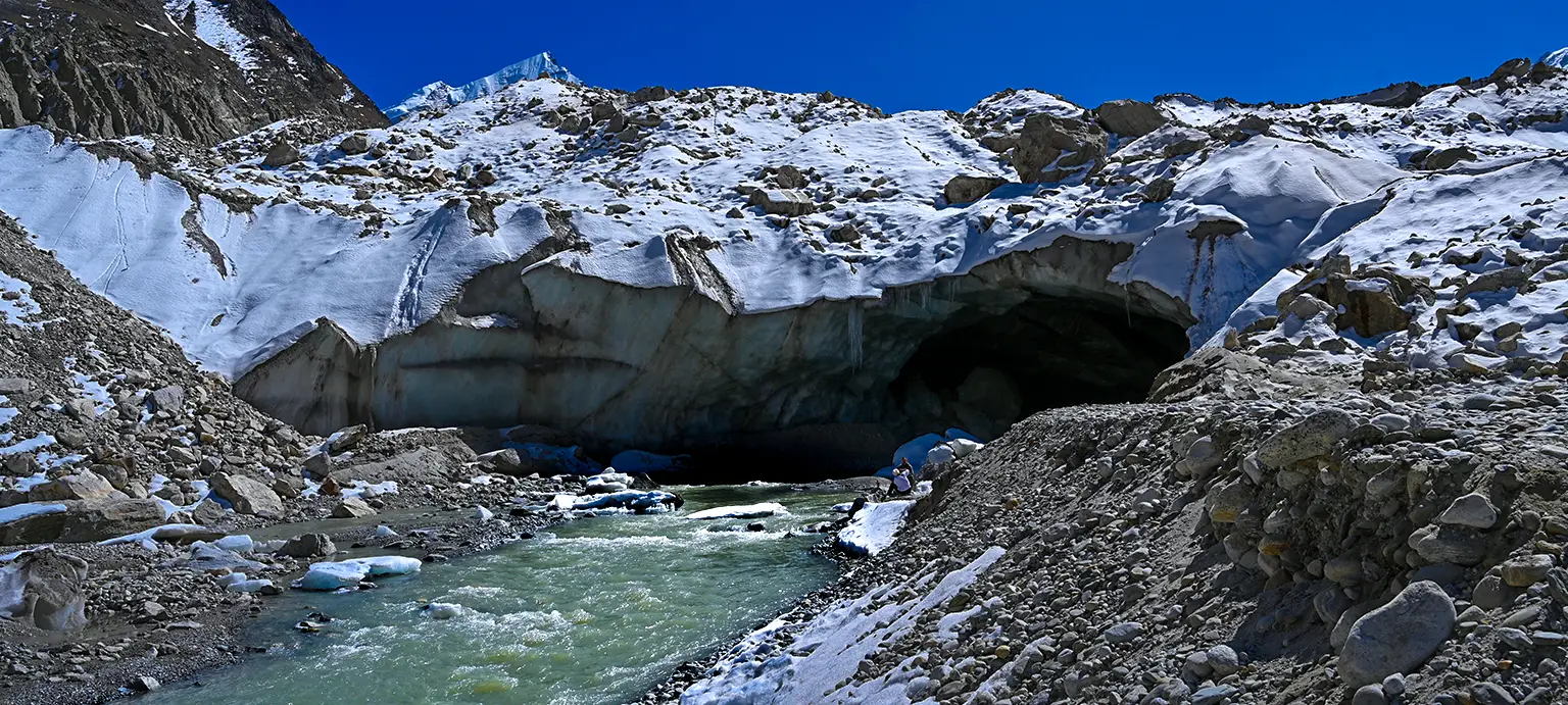
Gaumukh Tapovan is a demanding high-altitude journey in Gangotri National Park. From Gangotri, the trail follows the Bhagirathi valley through Chirbasa and Bhojbasa toward Gaumukh, the snout of the Gangotri Glacier. The ascent to Tapovan adds moraine terrain and steep climbing, rewarding trekkers with close views of Shivling, Meru and the Bhagirathi massif. Proper acclimatisation, permits and strong fitness are essential.


Long mountain drive to Gangotri and overnight stay.
Easy walks, briefing and acclimatisation before trekking higher.
Trek approximately 9 km along the Bhagirathi valley.
Shorter trekking day toward the glacier zone.
Cross the Gaumukh/glacier area and climb steeply to Tapovan.

Descend from Tapovan and return toward Bhojbasa.

Long return trek to Gangotri.
Drive back with a buffer recommended for mountain-road delays.
Accommodation as per itinerary
Meals during trek days
Qualified trek leader and support team
Camping equipment
First-aid, oxygen/safety equipment as operationally required
Permit coordination for the trekking route
Personal travel before/after the package
Personal trekking gear and clothing
Insurance and rescue costs
Porter/offloading unless booked
Personal expenses
Taxes or park charges not specified in package
Permit, road access and high-altitude logistics are subject to operational confirmation.
Pace and itinerary decisions account for altitude response and participant condition.
Route-appropriate medical and emergency equipment supports field decisions.
Snow, rain, road and trail conditions are monitored before and during the route.
Communication and evacuation planning is adapted to the remoteness of the trail.
Acute Mountain Sickness is a real risk. Acclimatisation, slow pace and hydration are essential. The glacier/moraine section toward Tapovan must be crossed only under experienced guidance. Permits are required.
Routes, camps and summit plans may change due to weather, trail, forest or safety conditions.
Gangotri National Park permits, weather, glacier conditions and local authority decisions can change the route. Tapovan access may be restricted if the crossing is unsafe.
It is a moderate-to-difficult high-altitude trek with long days, moraine terrain and a steep climb to Tapovan.
Yes, the Gangotri National Park route requires permits and entry formalities.
The usual windows are May–June and September–October; monsoon and deep winter are generally avoided.
Prior multi-day trekking experience and strong fitness are highly recommended because the route reaches about 14,600 ft.
Build consistent walking and cardio before departure.
Maximum 14,600 ft
Moderate to Difficult mountain terrain.
Season and wind can change the feel quickly.
Strong fitness and prior multi-day trekking experience are highly recommended. Prepare for 6–8 hour days, steep moraine sections and trekking above 14,000 ft.
Cold high-altitude conditions
Clear but colder nights
These are planning ranges, not live forecasts. Mountain weather can change quickly.
Tell us your preferred dates and group size. We can check a private/custom departure for Gaumukh Tapovan Trek.
Reach Dehradun and drive to Gangotri in Uttarkashi district. Gangotri is the acclimatisation base before entering the national park trail toward Chirbasa, Bhojbasa, Gaumukh and Tapovan.
Strong fitness and prior multi-day trekking experience are highly recommended. Prepare for 6–8 hour days, steep moraine sections and trekking above 14,000 ft.
High-ankle trekking shoes
50–60 L backpack
Thermals and multiple warm layers
Down/insulated jacket
Windproof and waterproof shell
Warm gloves and cap
UV sunglasses and sunscreen
Headlamp
Trekking poles
Water bottles/thermos
Personal medicines